Comstedt
Humminbird XPLORE 12" CMSI+
Humminbird XPLORE 12" CMSI+
Couldn't load pickup availability
Humminbird XPLORE comes with a completely new user interface and is equipped with many new, smart features as well as the most advanced sonar technologies: Mega Side & Down Imaging+ and Dual Spectrum CHIRP DSP sonar.
With a crystal clear and bright HD display, it is easy to see what is on the screen, and it is also adapted for Polaroid glasses.
Equipped with Cross Touch, chartplotter for Navionics, Wi-Fi, Bluetooth, Ethernet network, NMEA 2000 and AutoChart Live to create your own charts in real time with both depth, bottom hardness and vegetation.
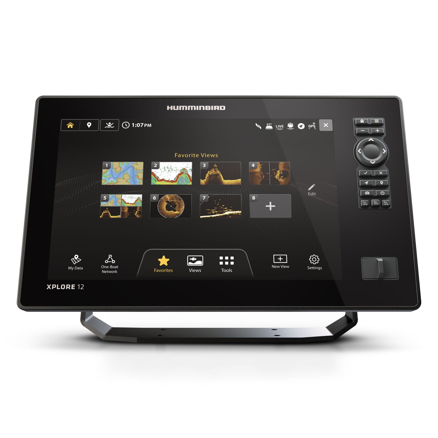
New even more user-friendly interface
XPLORE comes with new software and a completely new user interface. With an updated home screen and menu structure, it is easier to access the most used views and settings. New touch buttons that change according to the active view and a completely new waypoint manager that makes it easy to organize and categorize your waypoints. With the ”Draw to select” function, you can easily mark desired waypoints on the map.
Programmable One Boat Network buttons
XPLORE has three programmable physical buttons that can be customized for different functions.
Mega Imaging+ with increased range
MEGA Imaging+ on XPLORE provides 150 meters of range side to side and 75 meters of depth while delivering crystal clear, high resolution images. For MEGA+ units, the 455 kHz band offers a range of 244 meters side to side and 122 meters of depth.
Dual Spectrum CHIRP
Also known as High Wide (HW), it is the latest in the development of advanced 2D sonar. The broadband elements in the Dual Spectrum transducers have a very low Q value and deliver detailed 2D images with incredible separation. Combined with new algorithms and refined technology, the result is unparalleled.
Cross Touch Interface & Physical Keypad Switch between different functions without losing sight of the map and sonar. Zoom easily with “Pinch and Zoom”, point and hold, drag and drop, pinch and swipe to perform the commands you want. Together with the physical keypad, it combines the best of both worlds.
AutoChart Live
Create your own real-time charts with depth, bottom hardness and vegetation with AutoChart Live . The unit has a built-in recording memory of 8 hours. If you want to expand this , the AutoChart ZeroLine card is available as an accessory below. The card offers well over 2000 hours of mapping. With a trolling motor from Minn Kota, you can use features such as following the depth curves in the chart.
NMEA 2000
Connect XPLORE to other onboard devices via NMEA 2000 and experience the ability to control Fusion marine stereos and autopilots directly from the unit. Or why not display AIS information and engine data on the high-resolution, bright screen.
Ethernet
XPLORE is network compatible and can easily be connected to another Humminbird unit to share GPS position, chart and sonar data, transducers, waypoints and more. In addition to sharing the above information, it is also possible to connect various accessories via the network connection such as Humminbird CHIRP Radar and Minn Kota trolling motors.
Bluetooth
Connect your mobile phone to update software and control your Minn Kota Talon, Raptor & Cannon Optimum directly from the sonar. Transfer waypoints to your phone and the One Boat Network app.
Humminbird Lakemaster VX Premium
With a Lakemaster Premium chart you get a detailed chart with high accuracy. Satellite images and 2D Shaded Relief show depth changes and other details directly on the map (Applies to lakes with HD data, for more information see list of lakes ). With a trolling motor from Minn Kota you can use features such as following depth curves and shorelines.
Navionics Charts & Plotter Sync
The units are prepared for Navionics cartography. With the Plotter Sync function, you can easily connect your smartphone and share planned routes and waypoints with one click.
Dual card slots
The dual SD card slots provide features such as using dual charts with different areas, saving screenshots to a blank separate SD card, using an AutoChart ZeroLine card simultaneously with Lakemaster or Navionics cartography.
Share